
RioSlide
Integrated system for spatio-temporal landslide modeling
Coordinator: Pedro Lima
Page under construction.
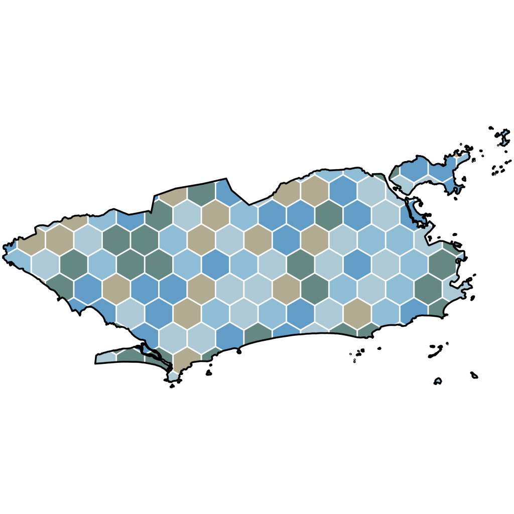
RioSlide is a research project dedicated to developing methods and tools for the monitoring, modeling, and spatio-temporal forecasting of rainfall-induced landslides in the municipality of Rio de Janeiro. The project integrates landslide inventories, hydrometeorological time series, geospatial data, and statistical and machine learning models to understand the spatio-temporal dynamics of these processes and to support disaster risk management.
Beyond scientific development, RioSlide consolidates an integrated spatial and temporal data infrastructure, bringing together information from different sources in an environment built on open technologies. This approach makes it possible to investigate the evolution of susceptibility patterns and hydrological response over time, fostering the development, comparison, and validation of predictive models across different spatial and temporal scales.
Although its initial study area is the municipality of Rio de Janeiro, the project was designed with a modular and scalable architecture, allowing it to be adapted and expanded to other municipalities and regions affected by rainfall-induced landslides. Aligned with GRAPHID’s research lines in hydrology, geomorphology, and applied geotechnologies, RioSlide seeks to contribute to the advancement of spatio-temporal modeling of natural disasters and to the development of tools that support scientific research, public management, and decision-making.
Funding: CNPq (2026–2030).
The project’s website (under update) is publicly available and can be accessed by clicking here.